Quantum Systems protects endangered wilderness
A partnership that takes off
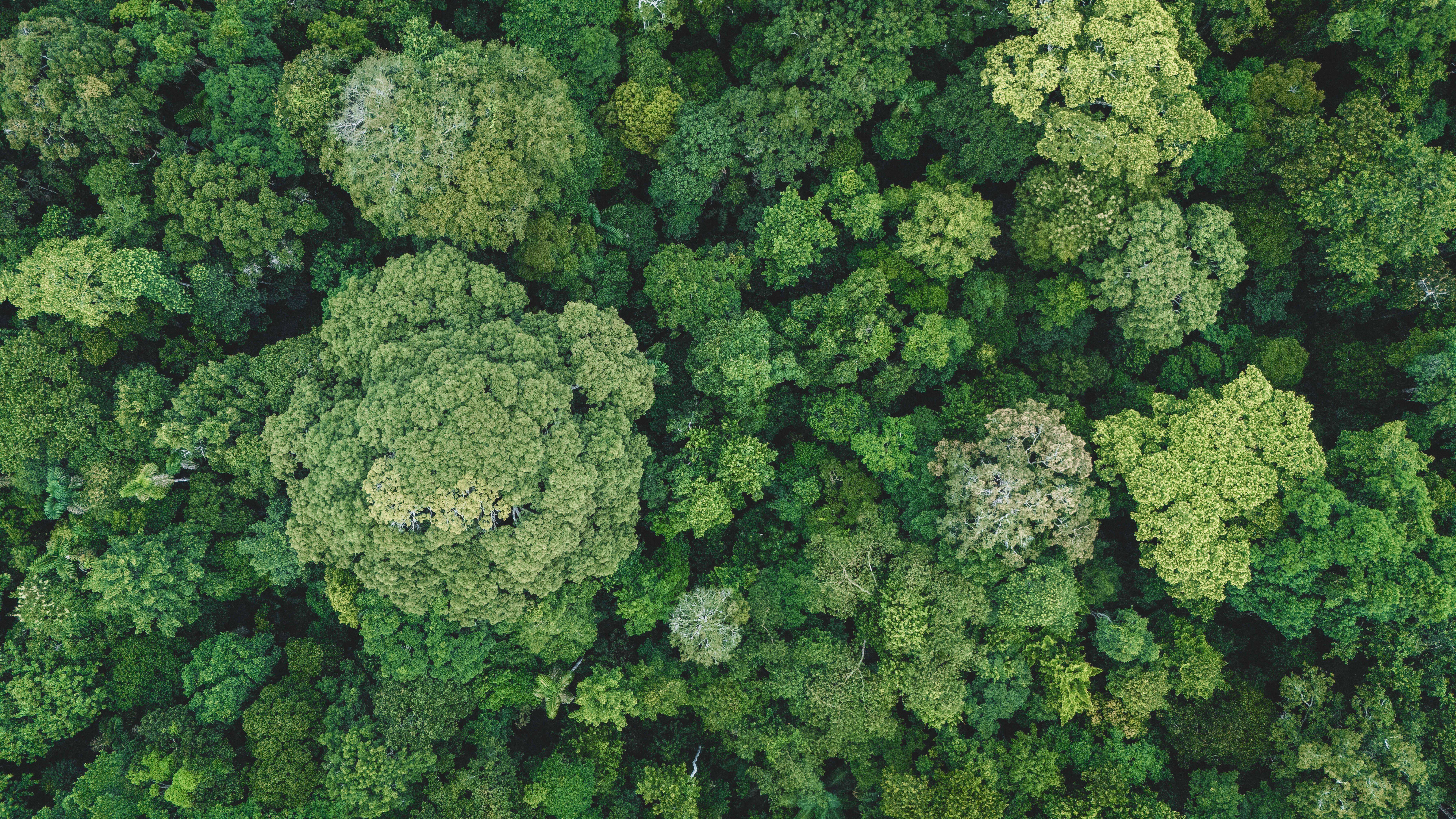
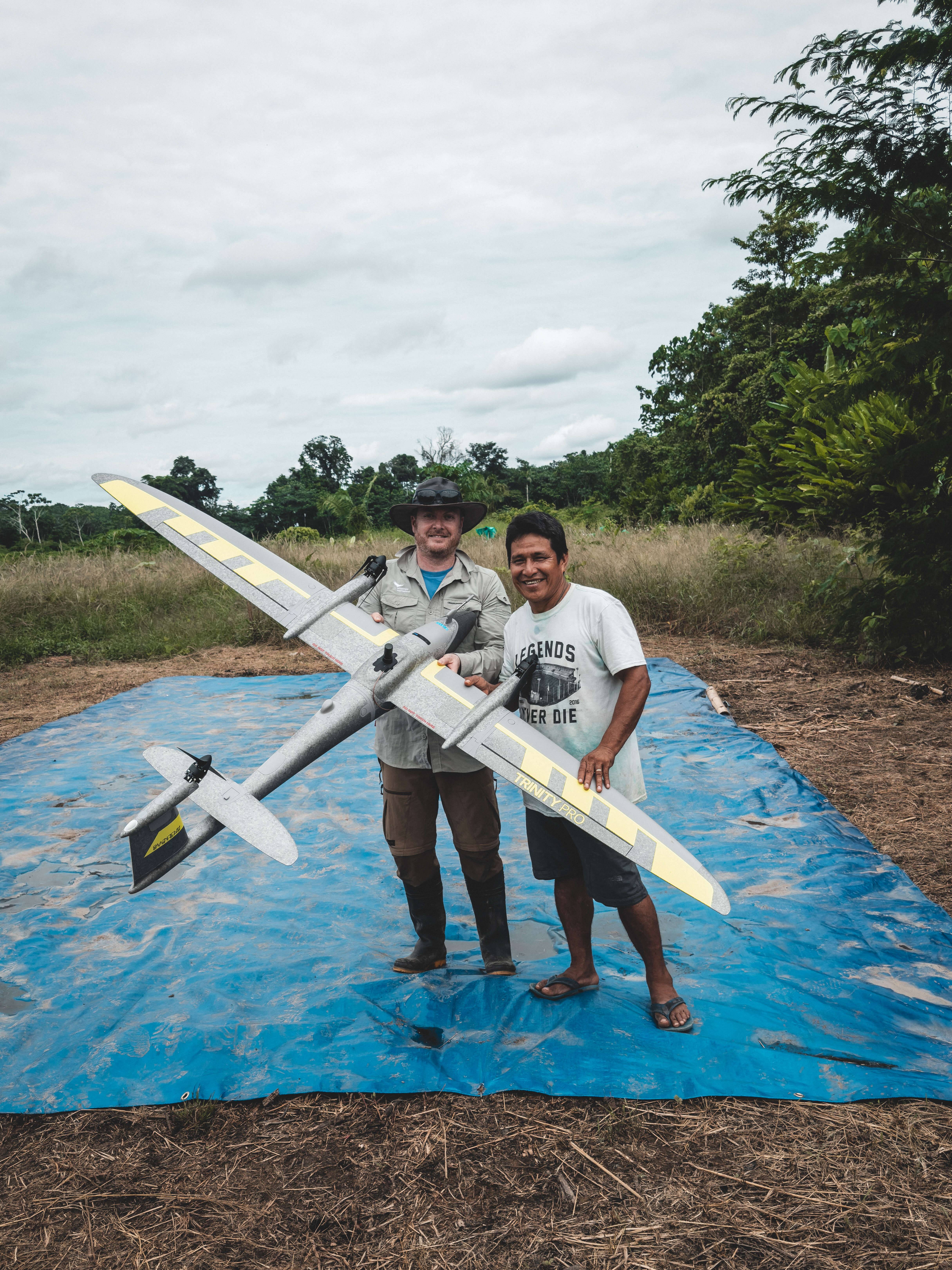
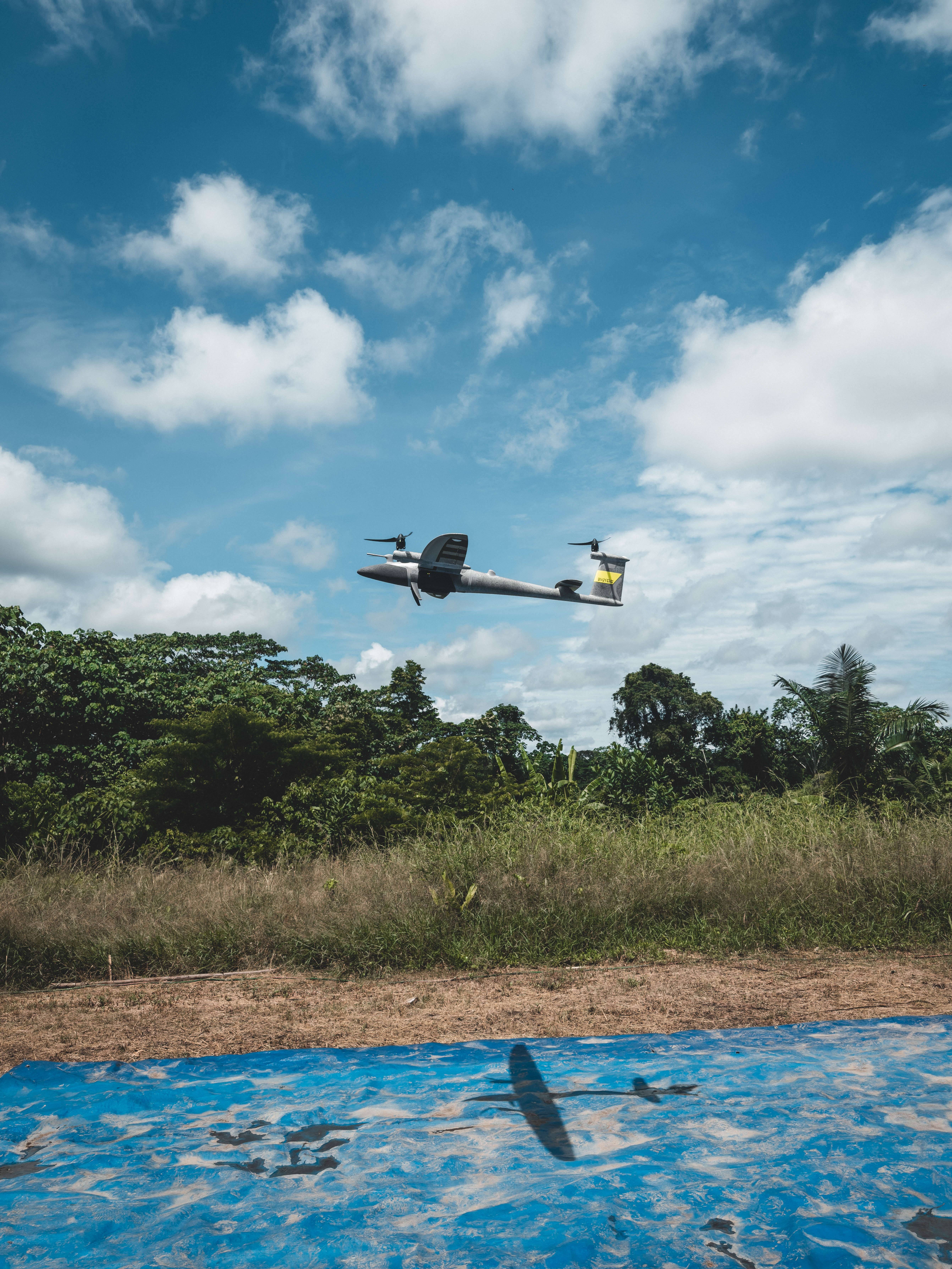
Quantum Systems not only protects endangered rainforest together with us - for every drone sold, Quantum Systems protects 64m² of unique wilderness in our protected areas. The state-of-the-art, fully automated drones from Quantum Systems are an important tool for our researchers: they enable the exact measurement and complete documentation of the rainforest areas you protect.

Quantum Systems is a Munich-based technology company that specializes in the development and production of drones. The aircraft from Quantum Systems are characterized by their vertical take-off and landing (VTOL) capability. They are designed to combine a long flight duration and great versatility in use with simple operation.
To create next-generation drones, the company integrates advanced software features such as edge computing and AI-supported data processing in real time. This results in sophisticated, intelligent flight systems that are delivered to commercial and government customers worldwide.
Why protecting the last wilderness areas is so important
Transparency
Why old-growth forest protection with WI?
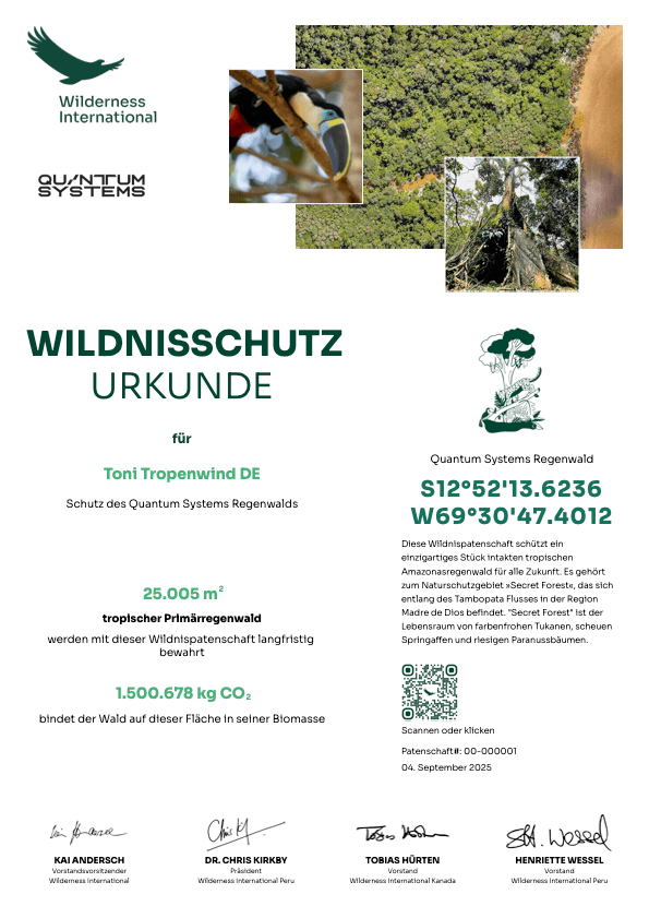
What particularly impressed Quantum about Wilderness International was the transparent and concrete use of the donations: €1 donation protects 1m2old-growth forest - forever. Donors receive a certificate with the geo-coordinates and an aerial photo of the protected forest area, as well as a tax-deductible donation receipt.
You too can protect a piece of the Quantum Systems forest
Let's continue on this path together and preserve even more unique wilderness in the long term:
Your wilderness protection certificate
You will receive a personalized certificate of the piece of wilderness you protected immediately after your donation.
Protect rainforest in Peru with Quantum Systems
About Wilderness International
The foundation, which is based in Peru, Canada and Germany, purchases legally secure wilderness areas and protects them for the future. The purchases are refinanced through donations, which ensure the long-term protection of the areas and enable environmental education projects and research into CO₂ storage and biodiversity.

CO2 calculator for travel
Whether it's a plane or a road trip: with our special tool for different means of transportation and types of travel, you can calculate the carbon footprint of your trip easily and free of charge.
And afterwards, you can offset the emissions directly by protecting valuable rainforest - so that more sustainable tourism and nature conservation go hand in hand now and in the future.

